US State and County Shapefiles
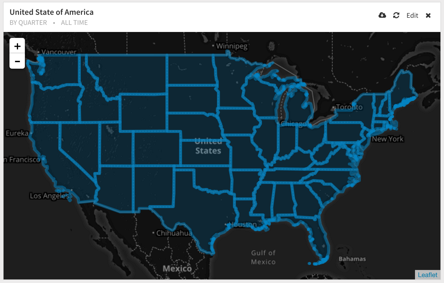
The cartographic boundary files are simplified representations of selected geographic areas from the Census Bureau’s MAF/TIGER geographic database. These boundary files are specifically designed for small scale thematic mapping.
When possible, generalization is performed with intent to maintain the hierarchical relationships among geographies and to maintain the alignment of geographies within a file set for a given year.
To improve the appearance of shapes, areas are represented with fewer vertices than detailed TIGER/Line equivalents. Some small holes or discontiguous parts of areas are not included in generalized files.
Download
https://www.census.gov/geo/maps-data/data/cbf/cbf_state.html
Convert to SQL
 Onboarding forward-thinking teams now:
No spam, ever! Unsubscribe any time. Learn more about the product.