Canada Province and Census Division Shapefiles
Introduction
There are two types of boundary files: cartographic and digital. Cartographic boundary files portray the geographic areas using only the major land mass of Canada and its coastal islands. Digital boundary files portray the full extent of the geographic areas, including the coastal water area.
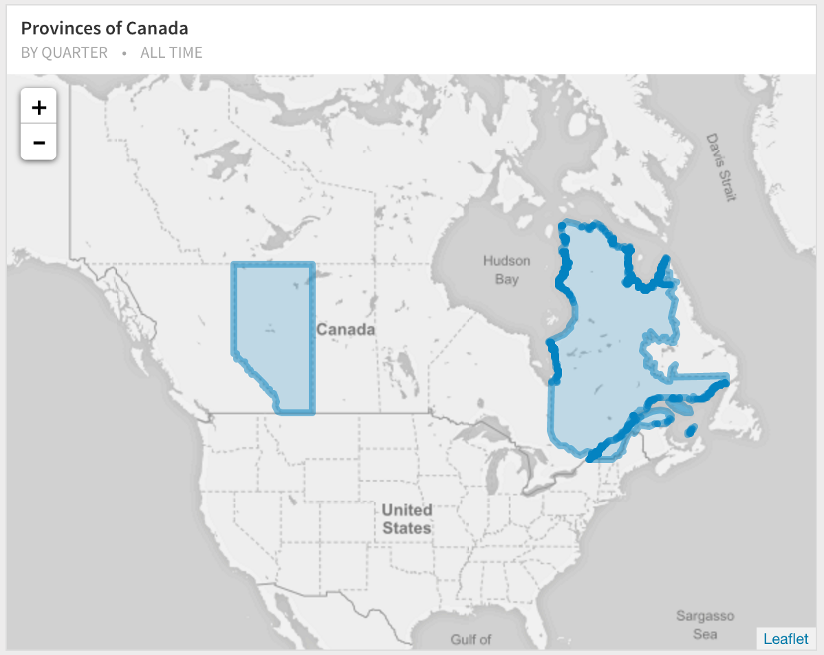
Here's a visualization of the shape boundaries of province of Alberta and Quebec using the query:
SELECT st_asgeojson(wkb_geometry)
FROM public.gpr_000b11a_e
WHERE ogc_fid IN (2, 11)
Province and City Shapefiles
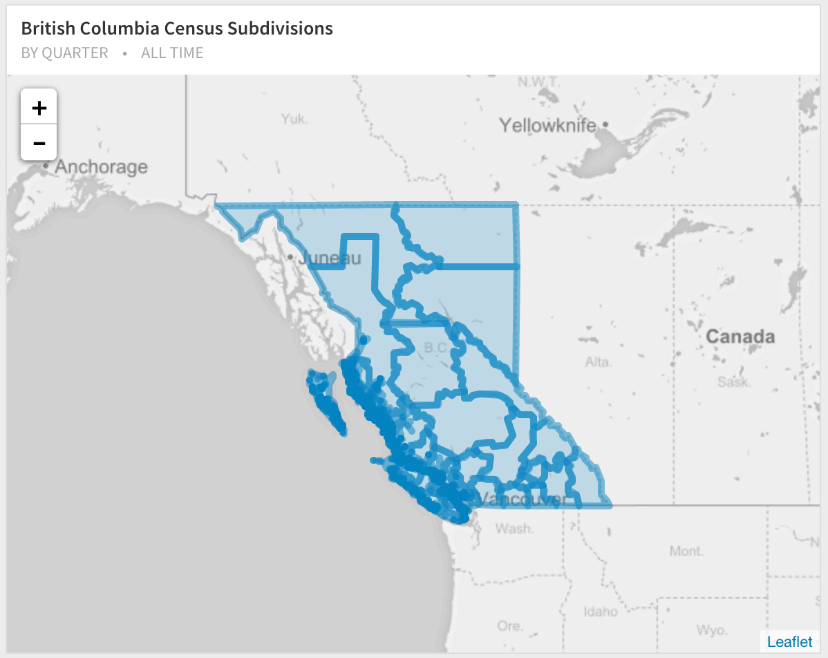
Each province also has boundary file, which may or may not overlap with the ones provided above. For example, British Columbia with the census subdivisions:
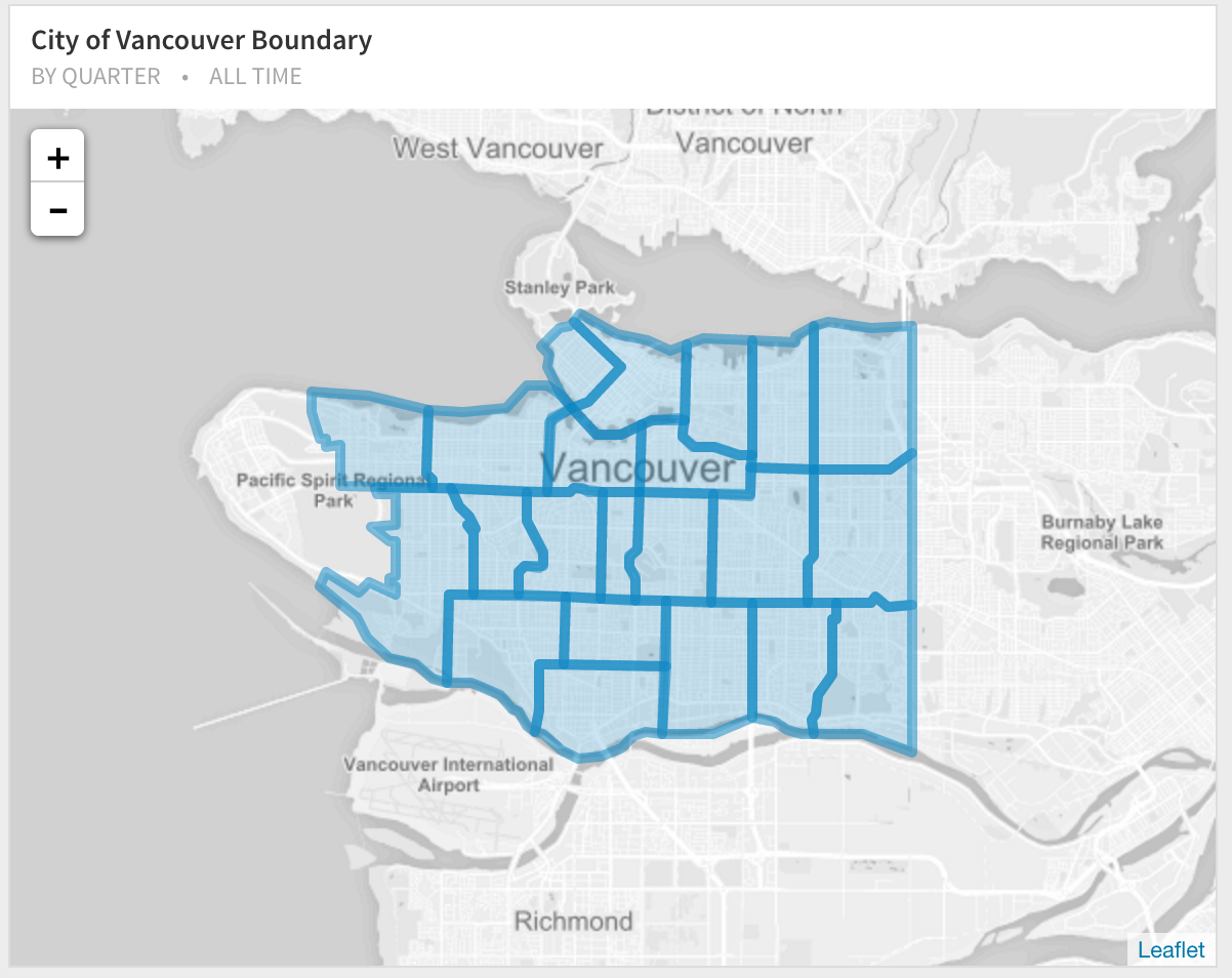
Various resolutions are available:
Convert to SQL
Next Generation SQL Data Analysis
Write SQL, visualize data, and share your results.
 Onboarding forward-thinking teams now:
Onboarding forward-thinking teams now:
No spam, ever! Unsubscribe any time. Learn more about the product.