Using GeoJSON with SQL Map Charts
According to http://geojson.org/:
GeoJSON is a format for encoding a variety of geographic data structures. A GeoJSON object may represent a geometry, a feature, or a collection of features. GeoJSON supports the following geometry types: Point, LineString, Polygon, MultiPoint, MultiLineString, MultiPolygon, and GeometryCollection. Features in GeoJSON contain a geometry object and additional properties, and a feature collection represents a list of features.
A complete GeoJSON data structure is always an object (in JSON terms). In GeoJSON, an object consists of a collection of name/value pairs -- also called members. For each member, the name is always a string. Member values are either a string, number, object, array or one of the literals: true, false, and null. An array consists of elements where each element is a value as described above.
Example of a GeoJSON document
Each feature of the GeoJSON document will look like this:
{
    "type": "Feature",
    "properties": {
        "name": "Alabama",
        "density": 94.65
    },
    "geometry": ...
    ...
}
Silota supports the value after the "geometry" key. The types supported within the geometry key are polygon, point and multipolygon.
Tutorial
Making Choropleth Maps
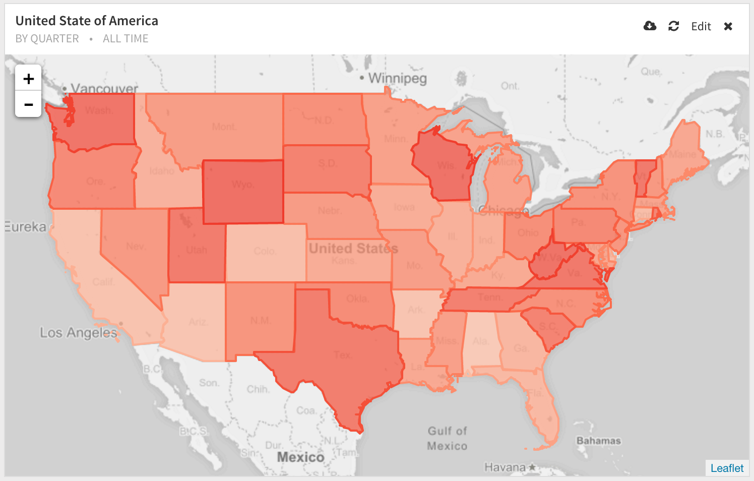
Full tutorial on Choropleth Maps
References
 Onboarding forward-thinking teams now:
No spam, ever! Unsubscribe any time. Learn more about the product.